Discover the ultimate HEMAV app designed to revolutionize how you monitor your fields right from your mobile device. This powerful tool integrates seamlessly with HEMAV LAYERS, utilizing cutting-edge Artificial Intelligence alongside drone and satellite technology to deliver comprehensive agronomic reports and tailored recommendations.
With the HEMAV app, you can:
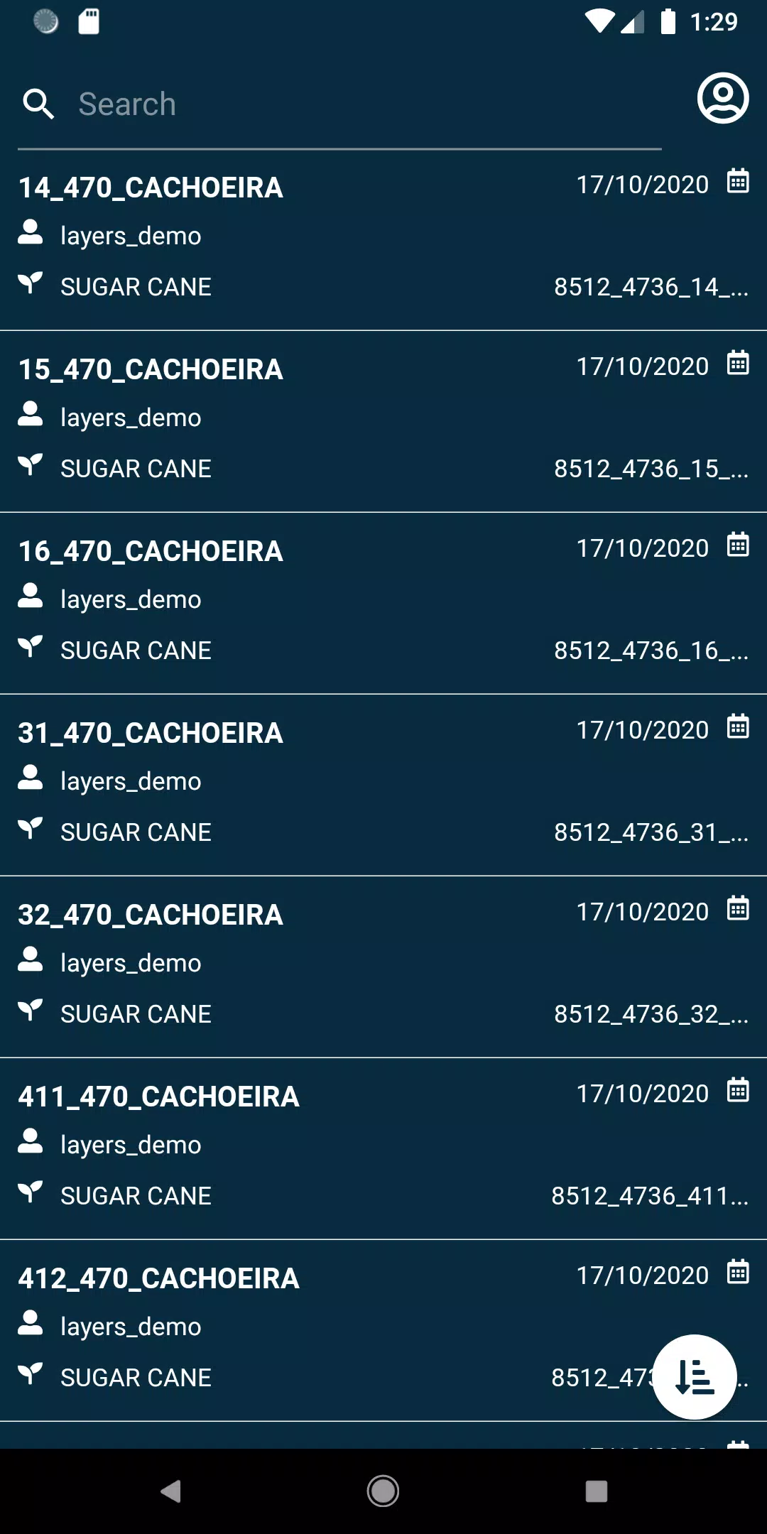
- Effortlessly view your fields, ensuring you're always connected to your land.
- Utilize a wide range of filters to search through your fields with precision.
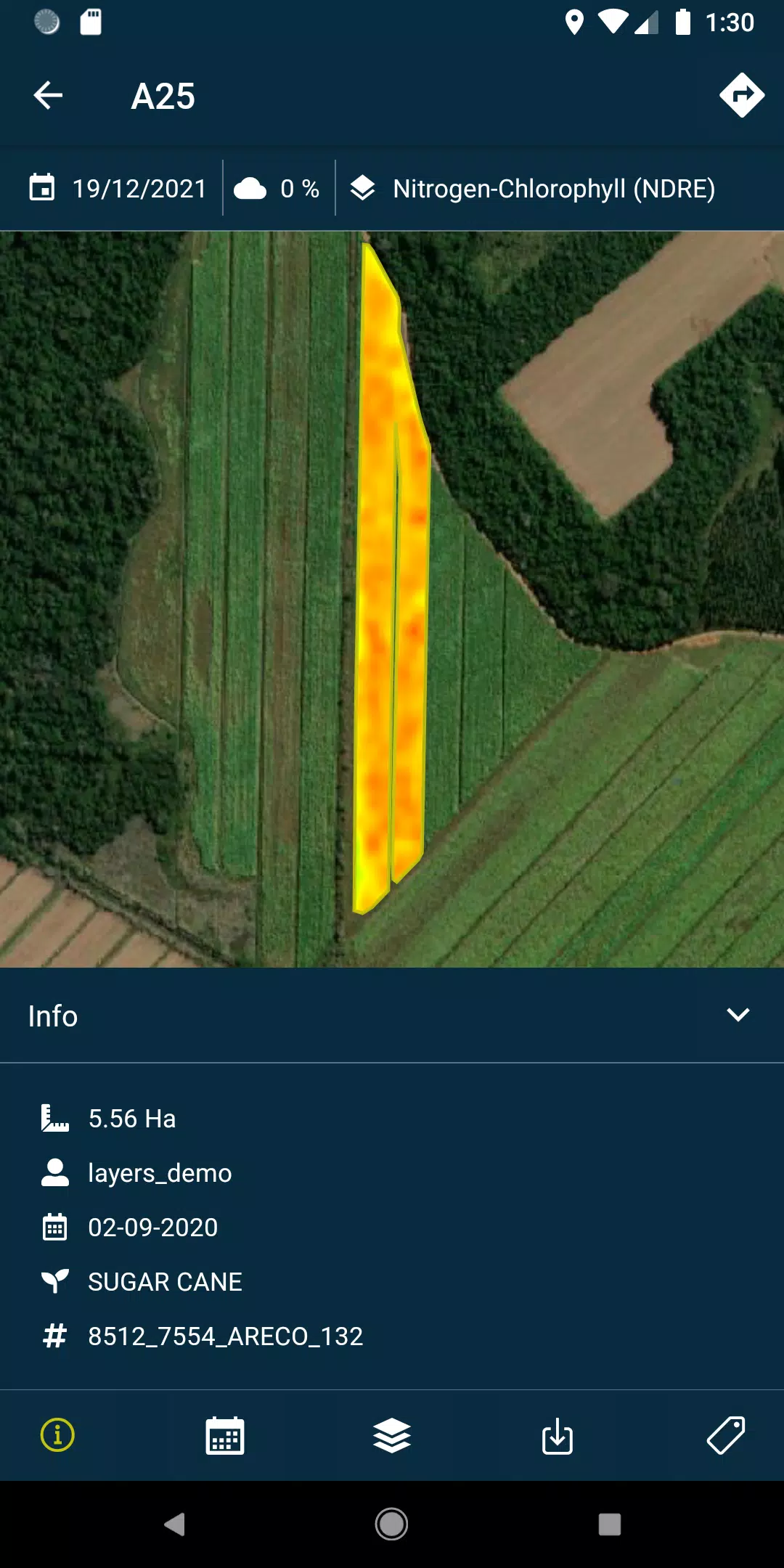
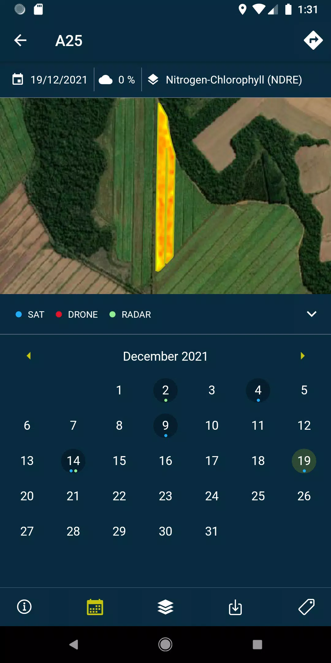
- Access detailed layers, including reports and recommendations, along with PDFs generated from each field's drone and satellite data, available both online and offline.
- Capture field photos, geolocate them, and add comments for a thorough and organized control over your fields.
- Conduct field surveys and seamlessly integrate them into the system for further processing.
To unlock the full potential of the HEMAV app, a subscription to HEMAV products is required.
About HEMAV Precision Agriculture Service:
HEMAV's LAYERS artificial intelligence software provides the agricultural sector with precise agronomic recommendations, enhancing treatment efficiency and offering detailed crop production estimates that focus on both production volume and quality.
What's New in Version 2.8.5
Last updated on Oct 19, 2024
- Bug fixes: Improved handling of pending sample uploads and enhanced cloud coverage filtering for more accurate data analysis.