This free app, the Land Parcels Areas Calculator, is a valuable tool for farmers, leveraging GPS technology to streamline land management. Farmers can accurately measure crop and land areas, ensuring precise calculations for tasks like EU direct payment applications.
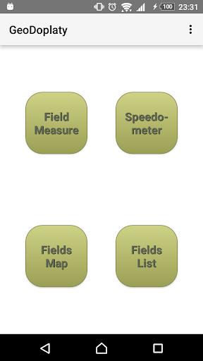
Key Features of the Land Parcels Areas Calculator:
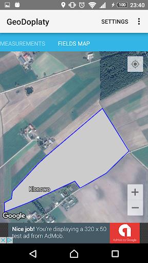
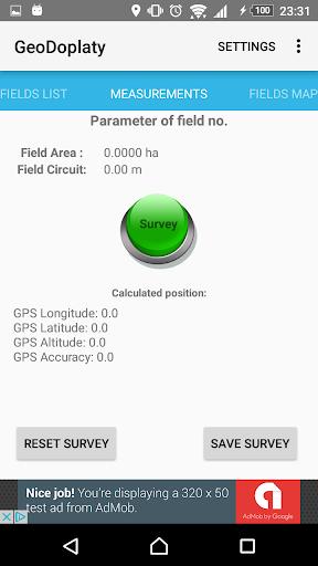
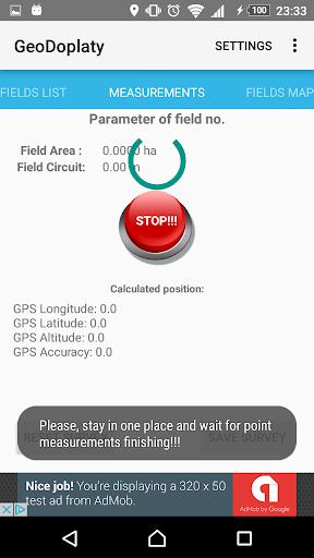
⭐️ Accurate Area Measurement: Use GPS to precisely measure the area of your fields and crops.
⭐️ Advanced GPS Algorithm: A specialized algorithm guarantees highly accurate GPS positioning for reliable measurements.
⭐️ Perimeter Measurement: Measure both the area and perimeter of your parcels for comprehensive farm data.
⭐️ Data Recording and Export: Record and export measurements in shapefile format for analysis and sharing.
⭐️ Survey Management: Efficiently manage and organize your survey data for easy access and reference.
⭐️ Integrated Speedometer: Maintain consistent field work speed with the built-in speedometer, receiving alerts if you exceed your set speed.
In short:
The Land Parcels Areas Calculator provides farmers with a user-friendly interface and powerful tools for precise land measurement, efficient data management, and improved productivity. Download today to optimize your farming operations and simplify EU direct payment applications.